Bullitt County
Welcome to Bullitt County, Kentucky, a land where history’s footsteps echo through rolling hills and picturesque landscapes. Nestled in the heart of the Bluegrass State, Bullitt County is a captivating blend of tradition and innovation, where the past informs the present and shapes the future.
Overview
Founding Date
Established in 1796, Bullitt County carries the weight of centuries within its borders.
County Seat
The charming town of Shepherdsville, with its rich heritage and a population of around 14,201 in 2020, serves as our county seat.
Population
As of the 2020 census estimate, Bullitt County is home to approximately 82,217 residents.
Location
Situated just south of Louisville, we are a proud part of the Louisville/Jefferson County, KY-IN Metropolitan Statistical Area, known affectionately as Kentuckiana.


Military Legacy
Bullitt County’s landscape boasts a remarkable feature—a significant portion, roughly 40,000 acres, serves as part of the United States Army post, Fort Knox. This expansive land is dedicated to military training, contributing to our nation’s defense.
Geography
Covering a total area of 300 square miles, Bullitt County is graced with 297 square miles of land and 3.2 square miles of water, adding to its natural allure.
Neighboring Counties
We share our borders with several counties, including Jefferson County to the north, Spencer County to the east, Nelson County to the southeast, and Hardin County to the southwest.
Diverse Demographics
In 2010, Bullitt County counted 74,319 residents within its bounds. The county’s racial composition is diverse, with a majority of 96.8% White residents, 1.4% Hispanic or Latino, 0.7% Black or African American, 0.3% Native American, 0.5% Asian, and 0.3% from other races.
Community and Services
Bullitt County is served by a dedicated Sheriff’s Office, which provides essential law enforcement services to the community. This includes patrols, crime prevention, and criminal investigations.
Fire protection is offered through various districts and departments, with some staffed by professional firefighters and others run by dedicated volunteers.
Emergency medical care and transport are expertly handled by the Bullitt County Emergency Medical Service (BCEMS), ensuring the well-being of our residents.
Historical Population Insights
Throughout its history, Bullitt County has experienced growth and change:
- In 1800, the county’s population was 3,542.
- By 1970, the population had soared to 26,090.
- In 2010, the census recorded 74,319 residents.
- As of 2018, the estimated population stands at 81,069.
Economic Vitality
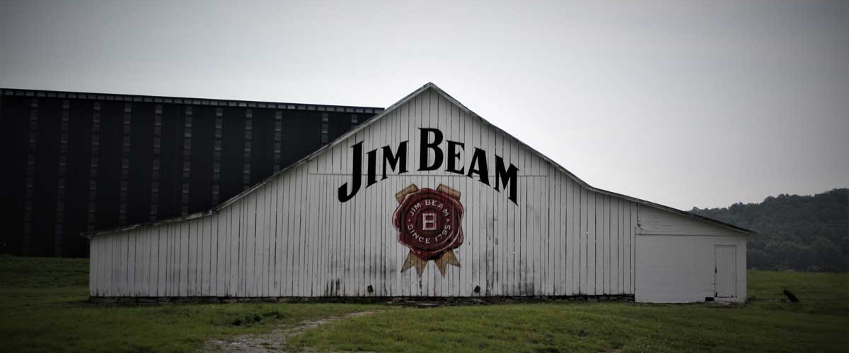
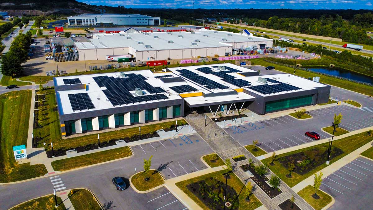
Bullitt County’s strategic location along I-65, a major transportation corridor, has transformed it into a thriving distribution hub. With millions of square feet dedicated to distribution, warehousing, and business complexes, Bullitt County plays a crucial role in the region’s economy.
Some prominent employers include Amazon, Inc., Magna Seating of America, Inc., Gordon Food Service, UPS Supply Chain Solutions, and many more.
Education Excellence
Bullitt County is home to a robust public school system, Bullitt County Public Schools, which nurtures the minds of our future leaders.
- 12 elementary schools
- 6 middle schools
- 3 high schools
A Strong Political Presence
In Bullitt County, history mingles with modernity, and the community thrives on the rich tapestry of its past. Welcome to Bullitt County, where every chapter is a story waiting to be discovered, and where the future is as bright as our enduring heritage.
